Pennsylvania is home to the most extensive system of footpaths east of the Mississippi River, many of which are underutilized. For many people backpacking in Pennsylvania goes no further than the Appalachian trail. This is unfortunate because there are many trails much more wild and scenic than the Pennsylvania section of the Appalachian trail. The longest trail in Pennsylvania is in fact not the Appalachian trail, but rather the Mid-State trail (
http://hike-mst.org/). As it's name suggests the Mid State trail (MST) goes north-south through the middle of the state from the MD to NY Border. I will be doing a series of posts on various trips I have taken over the last year on the trail. So far I have hiked about half of it. This post will focus on the least utilized section of the trail, the southern section. Because much of the trail south of US-22 is on State Game land legal backpacking there is difficult. A small part of the southernmost section passes through the Buchanan state forest near the Maryland border, allowing one to legally camp there.
Myself and several other people hiked the last 25 miles of the MST in late April 2012 from the border to a small game land parking lot called Biddle Place. The hike itself starts in the town of Flintstone, MD at the I-68 underpass.
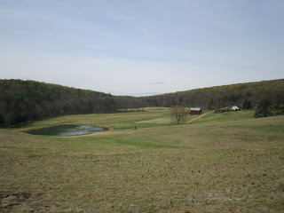
Unfortunately there is no parking at the MD-PA border so the hike starts with a road walk on Black Valley Road to the border and the official start of the trail. From the border one follows Black Valley road before the trail turns left onto a gravel road. Shortly thereafter actual trail turn right and starts on a nice walk through a pasture.
Shortly after this the trail enters a forest. You are now on state forest land. For the next couple miles the trail meanders through a mature forest slowly gaining altitude before coming to a grassy forest road. The MST then follows this road for the next several miles before crossing Beans Cove road. Crossing the road the MST now begins to climb Martin Hill which is the highest point on the entire MST. The rise is gradual for about a mile before the climb gets much steeper. Eventually the trail will follow a telephone line swath straight up the side of the hill. If you are planning on camping at the top, note before this climb is a small spring. As you climb you will have views to your back.
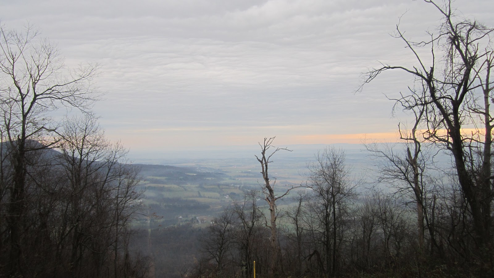
After a difficult climb you will arrive at the top of Martin Hill. There is a cluster of communication towers there. In the woods about 500 feet from this beautiful structure
is actually a nice camping spot. From the top of the hill one has beautiful views. This is where we called it a night.

From the top of Martin Hill the MST plunges straight down the mountain. For the next 5 miles the MST wanders through the Martin hill natural area in the valley one can see from the picture above. Water is plentiful in this area with several stream crossings. Since this is a natural area camping is technically forbidden. The trail will cross PA 326. Be sure you have water since from here on there will be no water sources. Also note from here on out the trail is on state game land so camping is illegal. After crossing the road the trail will climb to the top of Tussey mountain. A quick look at a TOPO map will show this to a be a long ridge that travels for 80 miles north to State College, PA. The MST will follow the ridge of this mountain for most of this distance. For the remaining 5 or 6 miles of this hike you will follow the ridge of Tussey mountain, while dropping off the ridge once, climbing back up to the ridge before finally dropping down to a grassy Game land road. The hike anywhere on Tussey ridge is difficult and rocky. You will be treated to great views on this section.

After dropping down for the last time you will come to a grassy road coming in from the left. Down at the bottom is a small game land parking lot called Biddle Place where you can drop a car for the shuttle.
Overall this is a challenging section with amazing views. You will almost certainly have solitude and will probably be the only people on the trail. Get a set of maps and trail guide from the MST club before attempting any long hike on the MST. As another bonus if you hike this section you will get to read about a perilous escape from the zombies we unleashed on Martin Hill from that concrete structure in the trail registers.
Happy Trails
 Soon begins your first climb in this section straight up on a rocky, steep trail to the top of the Sherman mountain After a brief respite following the ridge along a grassy woods road you drop down to Second Narrows road. After climbing over a smaller ridge you cross Schaffer run and another forest road before climbing steeply again to the top of Amberson ridge. After following the ridge for a short while the trail descends steeply (and I do mean steeply) over about 800 feet. This descent has to the be hardest descent I have done in Pennsylvania. The trail is rocky, very steep, and there were major blow downs to contend with. It took us quite a while to reach the bottom. When you arrive at the bottom you cross a bridge over Fowler's Hollow Run. There are several nice campsites here. We opted to go a few minutes further on up the trail and camp at the shelter.