The Black Forest Trail is sometimes times referred to as Pennsylvania's toughest backpacking trail. After hiking a section of the Tuscarora Trail (TT from now on), I think there is a trail in Pennsylvania far harder.
The TT is officially a side trail of the Appalachian trail (AT). It was originally built in the event that the section of the Appalachian trail in southern PA and Maryland was developed and the AT needed to be re-routed. The TT itself starts in the northern end of Shenandoah National Park and meets the AT 230 miles later just south of Harrisburg. Although the TT is officially maintained by the Potomac Appalachian Trail Club, the level of maintenance is far less than the AT. They are working hard to establish shelters along the length of the trail.
Through Pennsylvania the TT traverses ridge and valley country. Long, narrow, and rocky (emphasis on the rocky) ridges between valleys. Recently I hiked the 25 mile section of the TT between PA-233 and PA-641. This section traverses the Tuscarora State Forest (some sections in PA go through game lands and private land making backpacking difficult).
This trip starts at PA-233, near Colonel Denning state park. From the parking area the trail slowly climb 1000 feet to the top of a long ridge, first on an old road and finally on a trail that gets progressively steeper at the top. Along the way is a partial view of the Cumberland Valley to the east with views of the the Micheaux state forest in the distance.
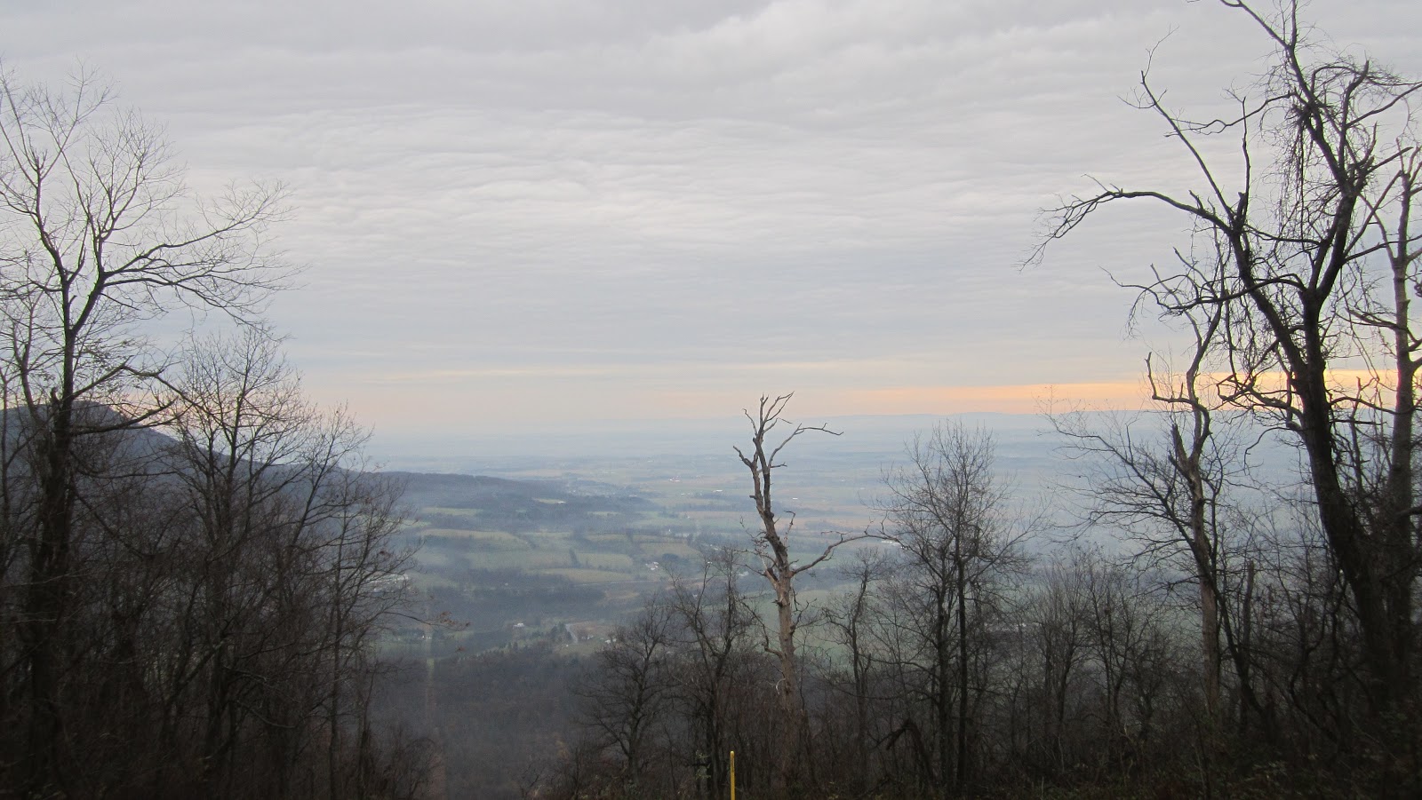 |
| First View |
The next 4 miles the trails a the follows the ridge line with Cumberland Valley to the east. After reaching Cowpens road the trail veers right and spends the next 9 miles going across 3 ridges with several climbs close to 1000 feet with very little switch backing. At the bottom of the ridge you have been walking on you reach Laurel run. The a flat area under hemlocks near the creek would make good camping.

Soon begins your first climb in this section straight up on a rocky, steep trail to the top of the Sherman mountain After a brief respite following the ridge along a grassy woods road you drop down to Second Narrows road. After climbing over a smaller ridge you cross Schaffer run and another forest road before climbing steeply again to the top of Amberson ridge. After following the ridge for a short while the trail descends steeply (and I do mean steeply) over about 800 feet. This descent has to the be hardest descent I have done in Pennsylvania. The trail is rocky, very steep, and there were major blow downs to contend with. It took us quite a while to reach the bottom. When you arrive at the bottom you cross a bridge over Fowler's Hollow Run. There are several nice campsites here. We opted to go a few minutes further on up the trail and camp at the shelter.
 |
| Bridge before the shelter |
The Fowler's hollow shelter is one of several shelters along the TT in Pensylvania. The shelter featured a spring, privy, and a massive stone hearth in front of it. We called it a day here as this was the last water we would see on the trip and we would soon be entering state gamelands.
 |
| Fowler's Hollow Shelter |
We continued the next morning where we were greeted with the longest climb of the trip, a one thousand foot ascent on a steep and rocky trail. Fill up your water containers here as we didn't see any water the rest of the trip. Near the top you reach the Hemlocks natural area. There are supposedly old growth hemlocks here but we didn't have time to check it out. From the Hemlocks natural area you follow a logging road to the top of Knob mountain. For the next 9 miles you will follow the ridgeline of Knob mountain. This ridge is incredibly rocky with several moderate climbs as the ridge undulates over the length of it. You are treated to some incredible views of an isolated valley that the Pennsylvania turnpike travels through. Throughout this section the trail is on Gamelands or private land.
 |
| Outstanding vista on the ridge one follows south of the shelter |
Fortunately for ones feet a couple miles of the ridge walk is on a grassy road that is probably used by the land owner for access during hunting season. You cross a powerline swath before one final steep descent from the ridge to PA - 641. A short walk down the road brings you to a hiker parking area. Due to the incredible rockiness and steepness of the climbs and descents this has to rate as one of the toughest hikes in PA. One person on the trip who has thru hiked both the AT and Long Trails said this was as hard as anything the Long Trail or AT can throw at you. On the other hand if you want an isolated trip not too far from Harrisburg or the Washington area this is a good spot. The views are great, there are some nice shelters and campsites, and you will almost certainly have the trail to yourself.

